Hiking Trip: Ha Ling Peak and Raven’s End in Canmore
Canmore is a wonderland of outdoor adventure. It has a perfect balance of characteristics to create a relaxing and rejuvenating weekend trip. What are these qualities? Well, let me give you the 4-1-1 (Ya, it’s still the 1990’s for my casual-slang language):
- A wide variety of outdoor activities: hiking trails, mountain biking, fishing, snowshoeing, rock climbing…
- Canmore, as a town, is absolutely charming. The vibe of the town is relaxed and outdoorsy. The people you meet in the street are down-to-earth and friendly. It has a lot of history and is less ‘glossy’ than their neighbour, the tourist mecca that is Banff.
- There are great restaurants in town and the shopping is pretty fabulous too.
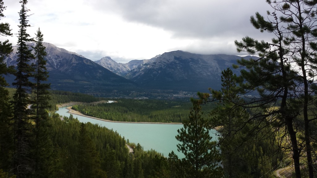
View from the Grassi Lakes – another great hike near Canmore.
My last trip to Canmore was with Billy and his parents. They were visiting from Belgium; as a personal rule, anyone who visits us from Europe is immediately swept to the mountains. Nothing makes people happier than being in the mountains.
Their main goal for this trip was to do a lot of hiking and to spend some quality family time together. In our quick visit, we went for multiple hikes but I had two favourites that I would definitely like to do again.
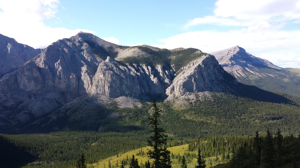
View from Raven’s End
The first was Raven’s End. This hike is about 40 minutes outside of Canmore, just past the hamlet of Exshaw. The landscape of this hike is quite different from other Rocky Mountain hikes that I’ve done. In fact, it’s like hiking up the borderland between the foothills and the mountains. The mountain you’ll be walking towards is called Yamnuska. The name is derrived from the Stoney tribe name meaning “Wall of Stone.” Yamnuska is a big deal because it’s the birthplace of modern rock climbing in the Canadian Rockies. Whaaat?! It’s true. I read it in my hiking book.
From several look-outs, one can clearly see how the landscape changes. The landscape makes me think about the variety of Alberta landscape and wonder how it became that way. Then, I wish I had paid more attention in jr. high during geography lessons.
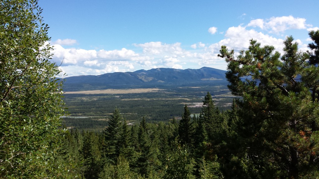
On the way to Raven’s End
There was a wide variety of plant life on this hike too. Especially birch trees and wildflowers, which I don’t see too often in the prairies of central Alberta.
You can do this hike as a loop or just do one side. I’ve been told that once you reach the Raven’s End, you can scale around the peak with a rope that is attached to the mountain or you can chicken out and walk back down the way you came. We chose option B for our first hike on this trail but I would like to go back and try going around the mountain.
The Details (I recommend buying Popular Day Hikes: Kananaskis Country by Gillean Daffern)
Distance: 7 km return
Difficulty: Moderate – fairly well marked by hiker’s signals with a few steep sections. Warning: The hills are slippery when wet.
Height Gain: 520 m
High Point: 1890 m
Bring snacks and water! Trail often open year round.
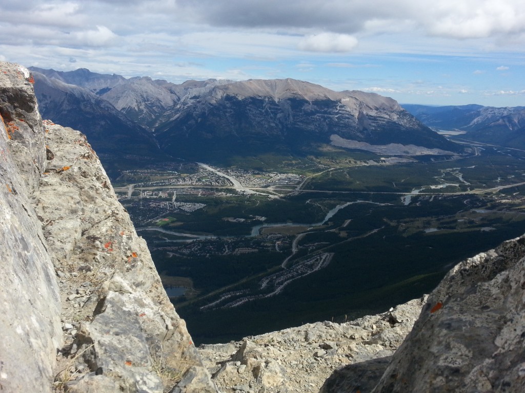
View from the peak of Ha Ling
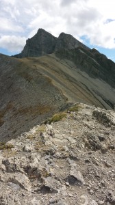
Ridge of Ha Ling Peak
Ha Ling Peak is another excellent hike. I would recommend it for beginner-moderate hikers. After we finished the Ha Ling Peak hike, I felt that it was a monumental hike for increasing my abilities. It’s strenuous and at times it felt like we were climbing straight up. It was difficult to see how high we were but we all could feel it.
The forest is thick and green; it has a powerful aroma of pine, mountain herbs, moss, and soil, which I find mentally intoxicating. Is there such a thing as runner’s high for hikers? I often feel like that when I’m hiking. The view, smell, and challenge all work together to create a memorable experience.
I’m not going to lie to you – this hike is hard work. My legs were jelly afterwards and my thighs were sore for days. However, getting to the peak was extremely satisfying and terrifying at the same time. Once we got to the top, the winds were whipping in at close to 50 km/h.
My instinct was to get low to the ground and to be aware of my footing. It’s not quite a scramble to the top but route-finding is required. Once I reached the very tippy-top, I flopped down on my belly along the peak and peered over the edge to see Canmore down below. It was amazing to be up that high and to know that I had a good climb on the way up. It was also scary and I was planning my descent after five minutes.
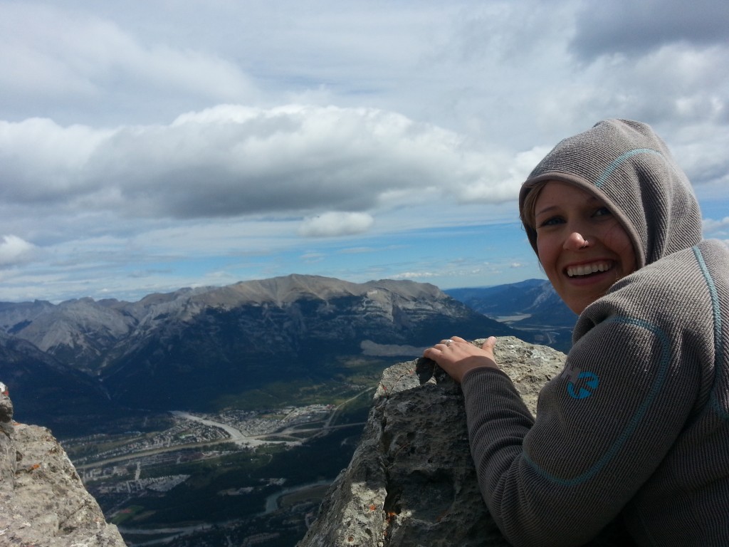
Hanging on to Ha Ling peak for dear life
The Details (from the same hiking book mentioned above):
Distance: 5.6 return
Height Gain: 732 m
High Point: 2408 m
Difficulty: Strenuous – a well traveled trail in the beginning with lots of switchbacks. At the top, some route-finding is required.
Definitely bring snacks and lots of water. Trail not open in the winter.
Hungry after hiking? Head over to Flatbread Pizza Co. for a delightful lunch. It’s my new favourite place and I’m picky.
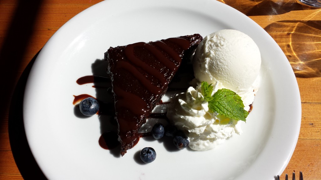
Chocolate Brownie at Flatbread Pizza Co. in Canmore. Go ahead, you earned it.
Also, go visit the information centre that’s located downtown Canmore. The help there has always been great for us and you can pick up some great research material to help you choose a hike for your mood. They also have the scoop on safety; sometimes a trail can be off limits for a variety of reasons, so it’s always a good idea to stop by and check with the locals.


Leave a Reply